Appuldurcombe House – Isle of Wight

Appuldurcombe House
Appuldurcombe House
Route and Elevation

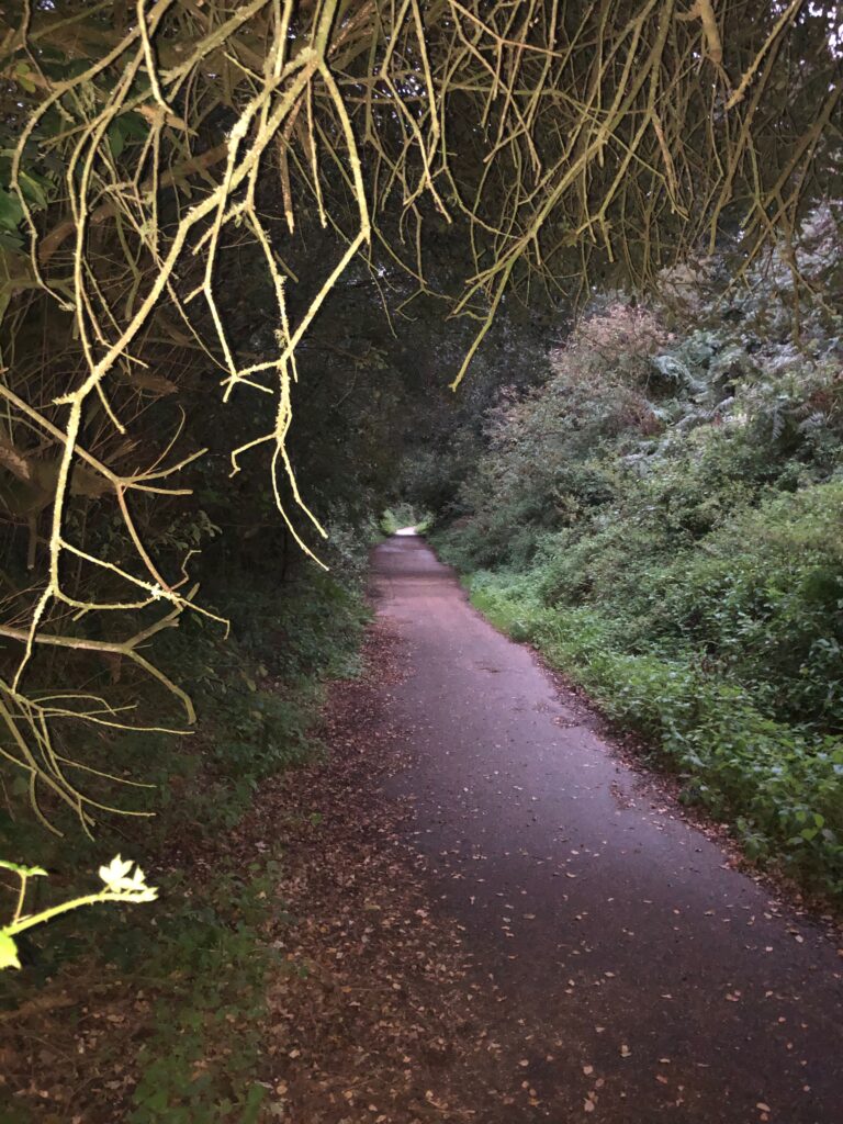
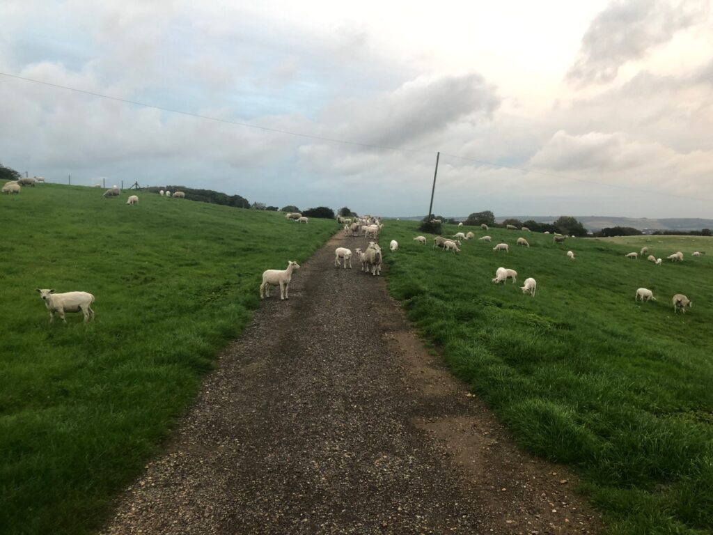
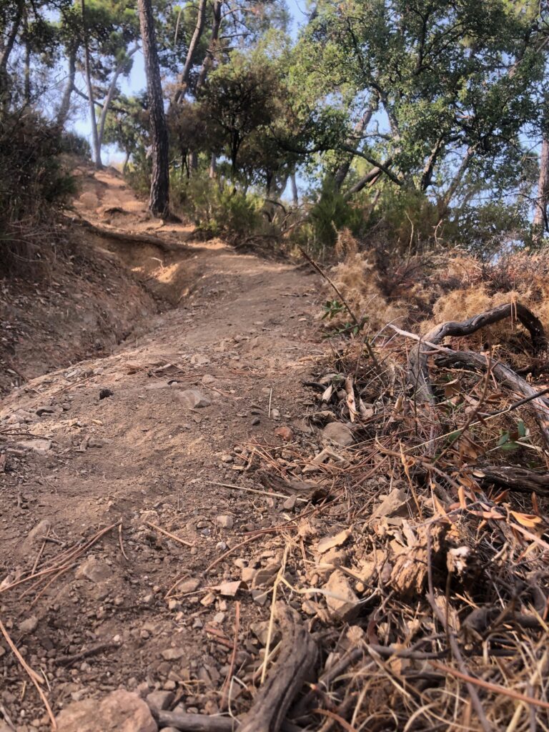
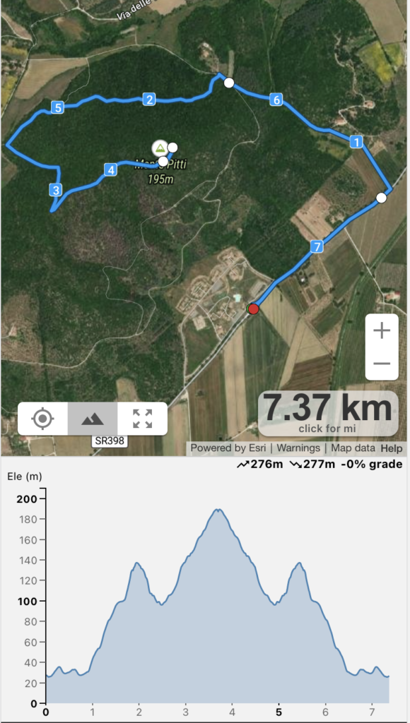
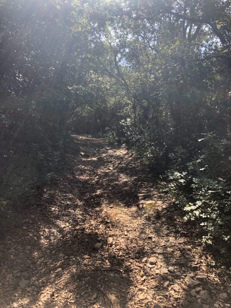
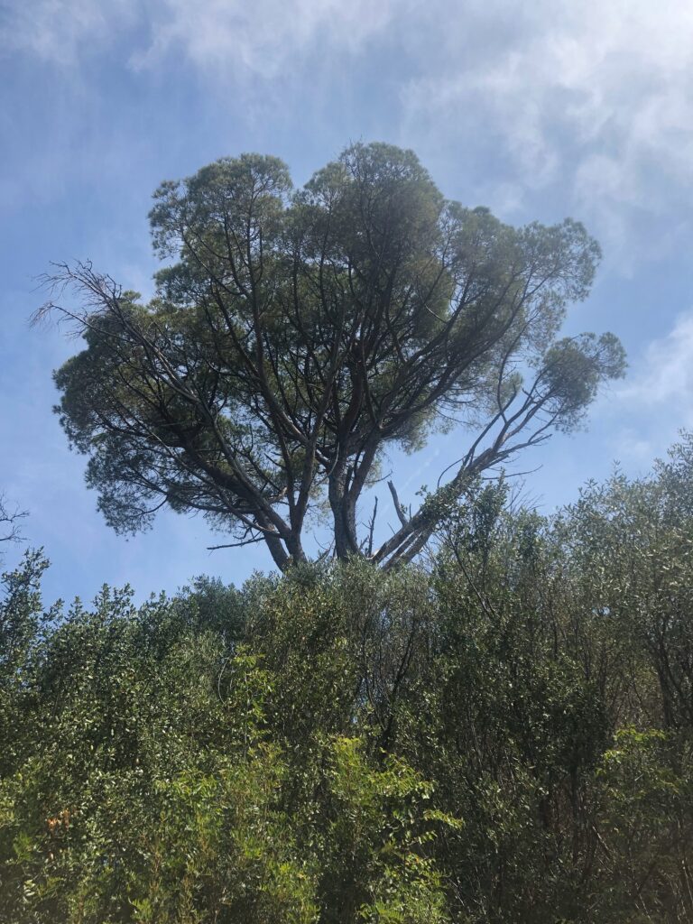
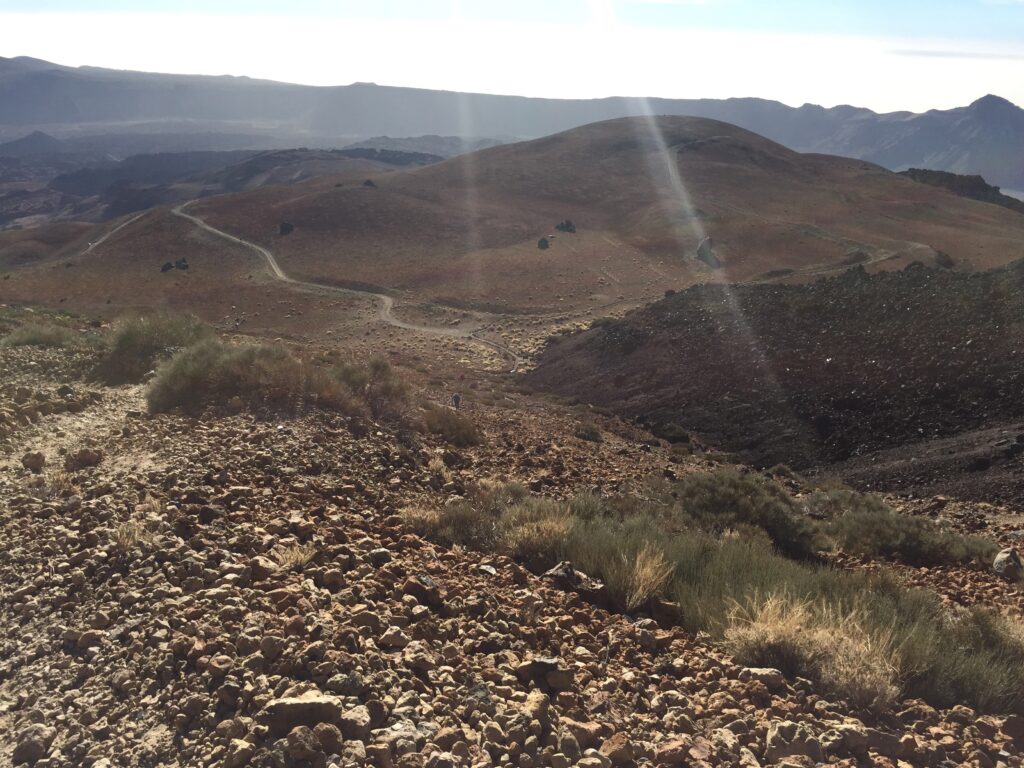
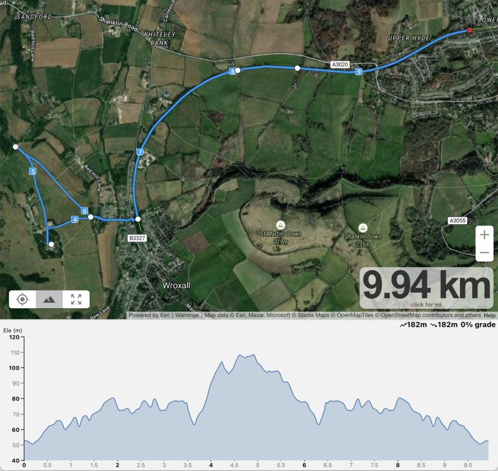
This run starts at the lower hide caravan parks along the Shanklin Wraxall Cyclepath heading towards Cliff Bridge and Appuldurcombe bus stops. The path is pedestrianised and wide enough not to worry to be hit by a bicycle. Once past the Victoria avenue you enter the area of fields and farm land that is (in summer) rich with vegetation and animal life (I’ve spotted a few foxes and rabbits). The ground is largely level with a slight up-hill, but overall a very pleasant stretch of road. Once get close to Appuldurcombe bus stop, it is very important not to miss the turning off the Shanklin Wraxall Cyclepath to your right, (which is a narrow down staircase) otherwise you would end up all the way in Wraxall.

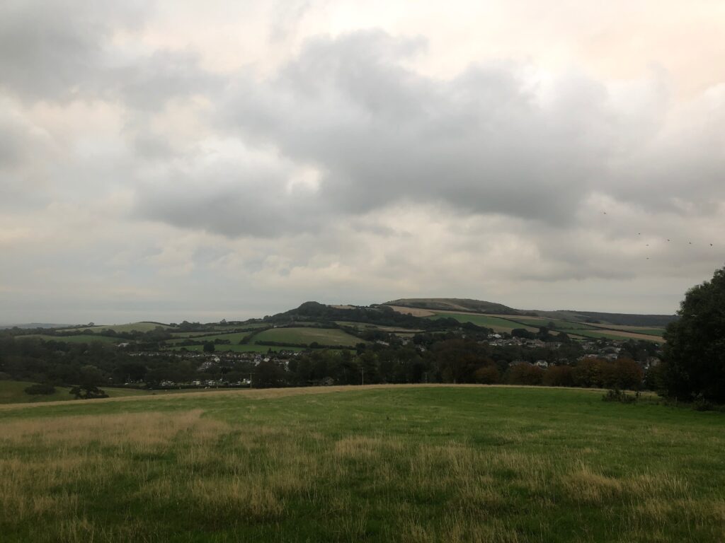
This is where the up-hill starts. Appuldurcombe road all the way to the house is a steepish climb, not too bad but around a 40 meter level difference all the way to Appuldurcombe house.

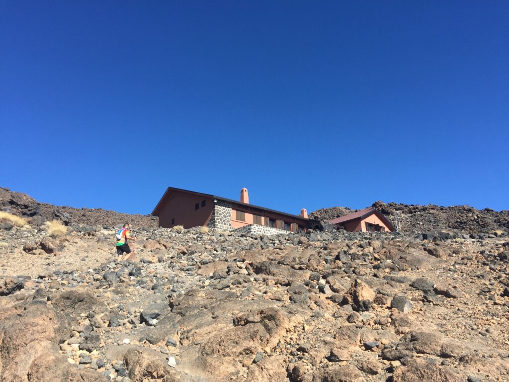
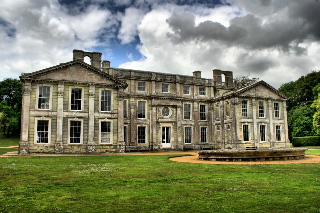
Appuldurcombe House is just an outter shell of a large 18th-century English Baroque country house of the Worsley family. You are free to roam around it and climb a few stairs here and there as well as walk around the wast grounds around the house. It is now managed by English Heritage and is open to the public

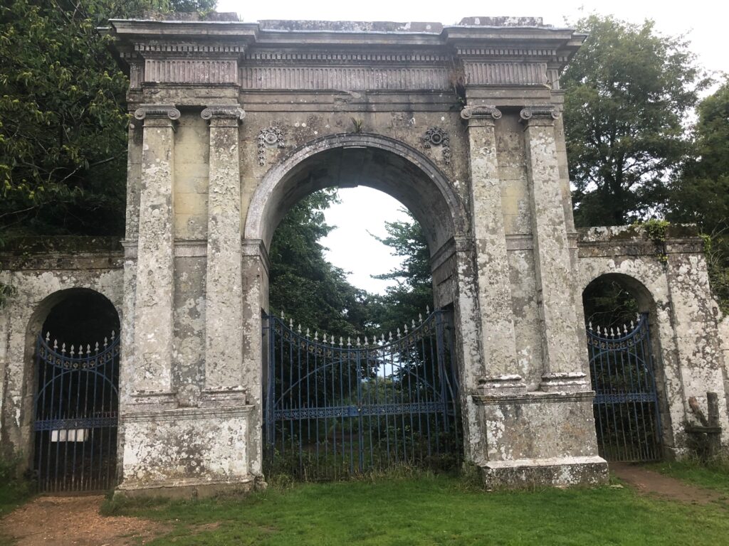
To the north of the house there is a Freemantle Gate, the last point of the route before turning back.

If interested in seeing more of Appuldurcombe house photos, this site offers a timeline view through the years.

Shanklin Wraxall Cyclepath
Old Bridge on Shanklin Wraxall Cyclepath
Fields along the way
Houses along the way
To Freemantle gate
Freemantle gate

Benahavis – Malaga

Benahavis

Start at the “Acequia trail Guadalmina” a wooden bridge across the Guadalmina river or “Angosturas” canyon. The bridge is located roughly a 1km from Benahavis village.

Route and Elevation

Following the trail up the hill once across the bridge you come to a dust trail that runs alongside a water irrigation channel. The run is along a fully conditioned path with wooden posts for anti-fall protection. To start with the trail is mostly flat with some ups and downs here and there which is very good for a warm up as there is a steep climb between points 3 & 4 on the route map.

I ran this route in July, one of the hottest months in this part of the world, make sure you take water with you. I use Kalenji Soft Flask 500ml from Decathlon (see image at the bottom of this post)

Guadalmina river
Up the dust track
Thorns along the way
Benahavis - rock on the road
Dusty Track Road with constant ups and downs
selfie along the way
Quick selfie on the side of the road
Drink plenty of water when running in hot conditions

Campiglia MaritimaProvince of Livorno

Route and Elevation
Route and Elevation

This run starts at “Le Corti di Montepitti Residence” a resort mainly for families with children. Personally I would not be going back there again 🙂 but thats a different topic.

Run along the road away from the sea for about 700 meters until you get to a little road to the left leading up into the hills

Run along that until you get to a dust road used by farmers on your left that runs along the field and into the woods.

Along the way I saw a lot of shotgun shells, as well as raised off the ground and in the trees hunters huts, clearly used here by some folks to do a little target shooting practice.

Further up the hill there is a even an official “appostamento fisso di cacia” sign, which roughly translates as “fixed hunting hut”.

The hunt from fixed posting, or shed, is one of the most practiced hunts in northern Italy, with particular roots and traditions in the Brescia and Bergamo areas. 

Dirt track winding up the hill
Lone tree amongst the bush
Oasics that I used for this run
Fixed hunting post sign
Hunters fixed hut
View from the top of the hill

Tenerife – Teide national park

Route and Elevation

Complexity: Hard

Distance: 8.15 km

Duration: 1h 30 min

Elevation: 900m

For this run, I chose mount Teide as my target. To start I drove to the foot of Mount Teide and parked on the side of ‘Carretera del Teide’ road (the next bend after the left turn for Telefico del Teide). According to the map there is a narrow pathway leading from the road ‘Carretera del Teide’ up to the peak. I, however was not able to find that path and had to ‘brute-force’ my way up the mountain. The terrain here is treacherous with large loose boulders constantly slipping from under your feet as you run up, risking getting your leg trapped or twisted or worse broken. It was morning (about 9am) and it was still quite chilly, but sweat was pouring as if it was +40. I (somewhat foolishly) did not take any water nor energy bars with me. I have to admit that about 45 mins in I was starting to have doubts about making it back in one piece and that I should give up and turn back. About an hour in some sort of resemblance of the path appeared, terrain levelled out and I’ve reached a plato and saw a path where I could finally speed up. This led to a cross-road with a sign on it, where I met Juan a fellow Spanish off-road runner. When I showed him the map where I started the ascend and told him that I was aiming for the peak and when he saw that I had no water or snack with me, he just shook his head and turned a finger at his temple in dismay and my stupidity. He offered me a bar of his chocolate and a sip from his water bottle. I thanked him and ran on.

This is the part of the ascend where I am not sure if I should turn back or keep going
View from the side of the mountain
You can just about make out my white car on the side of the road
Further up, hardest part is behind me, now the terrain levels out somewhat
I can see a path… now I can speed up
At the cross-road sign. Refugio de Altavista became my new destination point
Third of the way up
Three quarters of the way up – cross roads sign is down there somewhere
Almost there at 3,2k meters above sea level 🙂
Selfie at the final destination
Refugio de Altavista. You can rent a room here
Quick panorama on my way down